Blue Box Seminar
Morphometry, stratigraphy, and chronology of submarine slope failure in inner Frobisher Bay
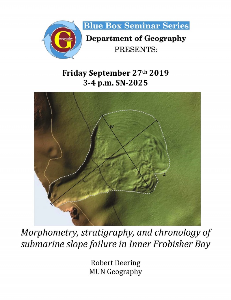
Inner Frobisher Bay, on which the City of Iqaluit is located, hosts an abundance of marine geohazard features (iceberg scours, methane seep pockmarks, and submarine slope failures). This raises the question of what threat these geohazards pose to Iqaluit, the hub of transportation, government, and commerce in the eastern Canadian Arctic. Essential municipal, commercial, and subsistence infrastructure and important cultural resources are located along the urban waterfront at levels vulnerable to flooding. In addition, new seabed and coastal infrastructure projects such as fibre-optic cables and port facilities may be vulnerable to geohazards in the bay. Submarine slope failures (SSFs), gravitational movements of sediments on the seafloor, if still actively occurring, have the potential for local seabed and widespread onshore effects. Comprehensive multibeam echosounding (MBES) mapping has revealed 246 SSF features in the basin, a greater density than known anywhere else in Arctic Canada (~1 per 4 km2). Submarine slope failures can cause destruction directly through their rapid displacement of seafloor sediment and indirectly through the generation of tsunami waves. Analysis focusing on their morphometry, stratigraphy, and chronology can help establish whether these failure events pose a hazard in the region. Using a combination of MBES, sub-bottom acoustic profiling, and sediment coring this talk examines each of these key aspects, describing what they mean for submarine slope failure occurrence in inner Frobisher Bay and their implications for sustainable seafloor and coastal development in the region.